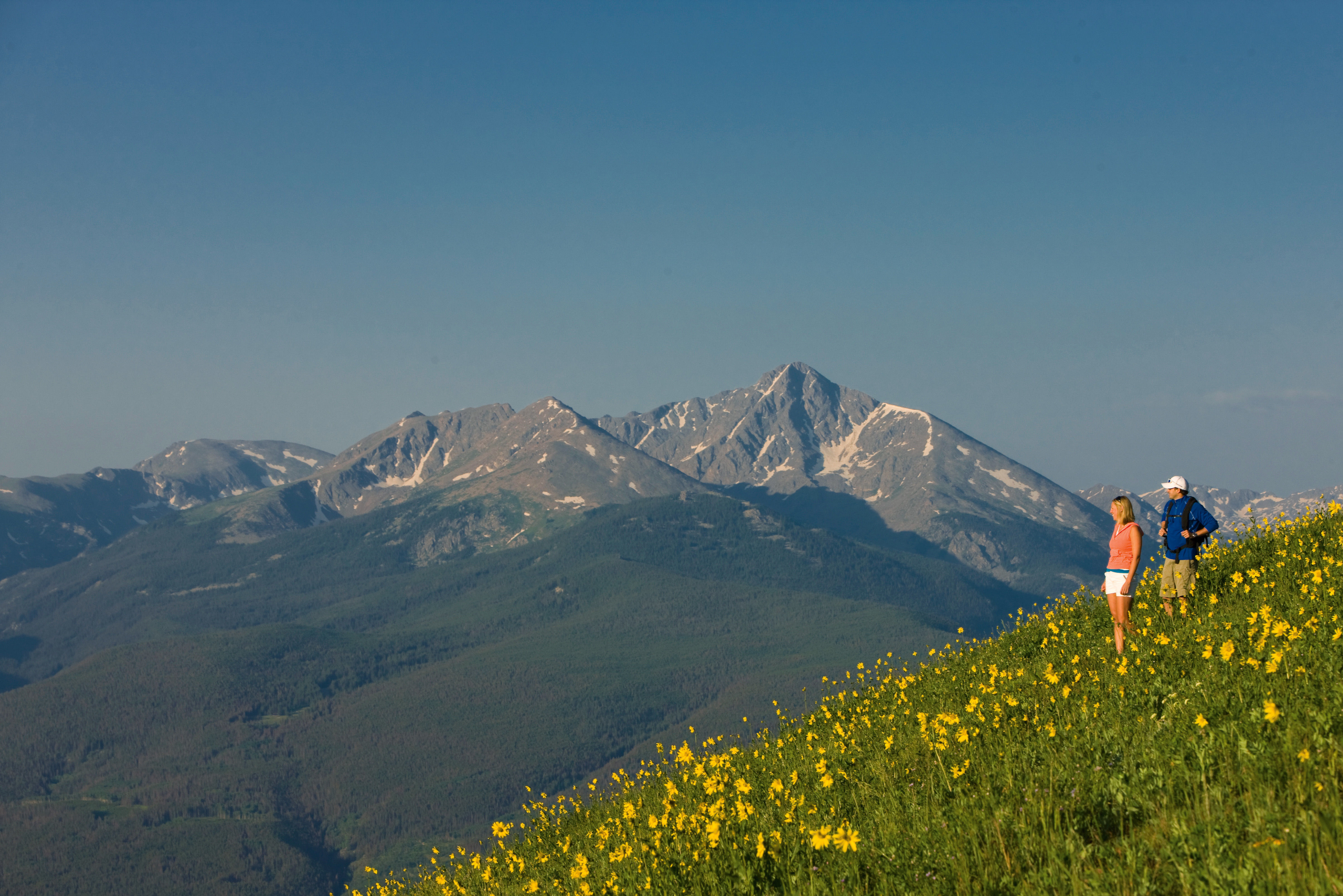
The Valley's Most Stunning High Country Hikes
Hikes in the Vail Valley area come in many flavors: casual constitutionals for vacationers acclimating to the altitude, nature walks led by expert guides, mountainside scrambles geared toward a variety of skill levels. You can even make the challenging climb to view one of the most photographed sights in America: the huge symbol of faith carved into the Mount of the Holy Cross. So slap on the sunscreen, pack up your water and snacks, and muster your adventuring spirit to hit these favorite trails.
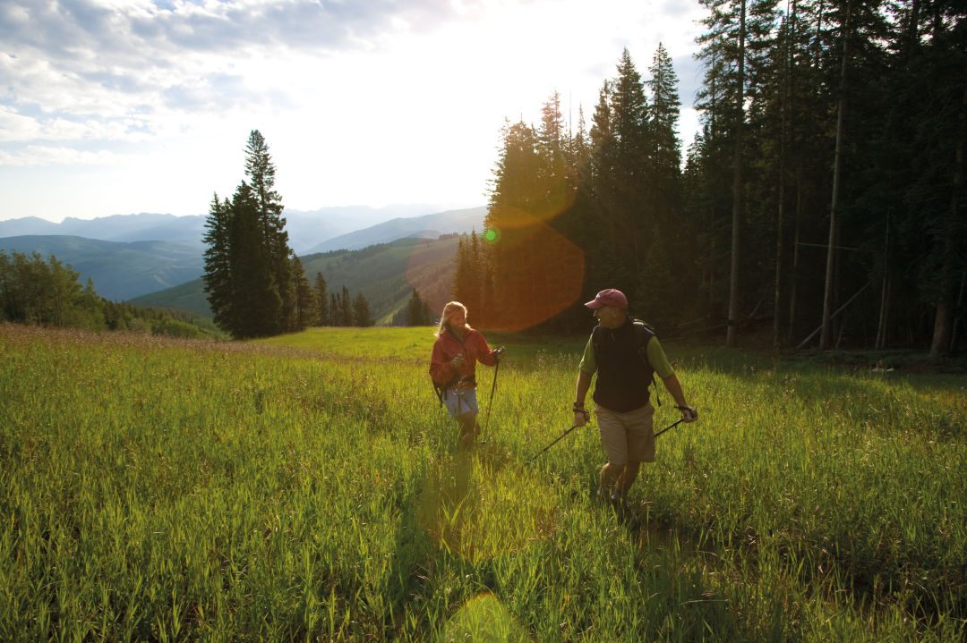
Image: Courtesy Vail Resorts
Beaver Lake
- Difficulty: Easy
- Round Trip: 6.6 miles
- Elevation Gain: 1,700 feet
Why It’s a Favorite: This delightful hike follows Beaver Creek into the luscious emerald meadowlands above the village to Beaver Lake, the sandy beaches of which make for a perfect picnic spot. The hike winds up the mountain, through aspen groves and meadows and along gurgling Beaver Creek. Pack your fishing rod; the creek and the lake are both prime angling waters for native and brook trout (you’ll need a license). Cross the bridge over the creek after passing under Chair 11 and you’ll be walking the right bank, where the kids will have fun picking a sweet snack from the wild raspberry bushes. At about 3 miles you’ll enter the Holy Cross Wilderness; the sapphire lake lies just beyond.
Getting There: Take I-70 west from Vail and exit at Avon; turn left onto Avon Road and go uphill to the Beaver Creek ski area entrance. Park your car in the Village lot and walk on Elk Track Road up the hill past Beaver Creek Chapel to the trailhead.
East Lake Creek
- Difficulty: Easy
- Round Trip: 4 miles
- Elevation Gain: 800 feet
Why It’s a Favorite: This hike offers families with kids or older folks just acclimating to the mountain altitude a lovely and effortless walk in the woods. As you pass through the aspen groves, explain to the kids that the dark marks on the trees are made by the elk that spend the winter here, as they peel off the nourishing aspen bark with their teeth. Aspens are remarkable in that huge colonies of trees, sometimes covering acres, grow from a single seedling by means of root suckers underground. For a bit of excitement, the trail takes hikers briefly along a high, narrow path and then winds down to East Lake Creek. This hike is particularly glorious in the fall, when the aspens are cloaked in dazzling gold.
Getting There: Drive I-70 west to Edwards, turn left and go through the town to the intersection with U.S. 6. Turn right and travel 0.7 mile to Lake Creek Road. Turn left and go 1.8 miles to West Lake Creek Road; turn right. Pass Pilgrim Downs and keep going to the trailhead just before the road closure gate.
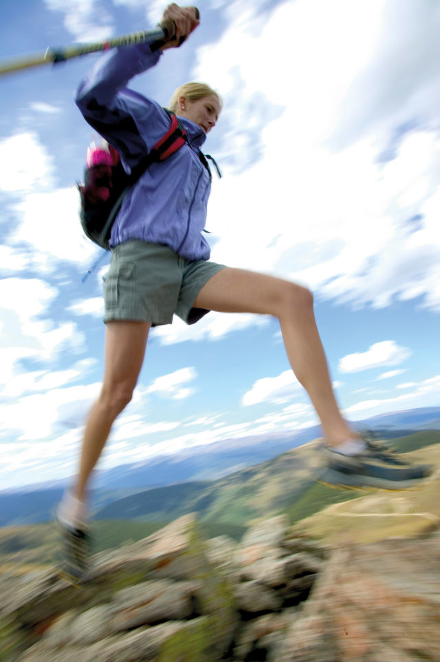
Image: Courtesy Vail Resorts
Notch Mountain
- Difficulty: Hard
- Round Trip: 10 miles
- Elevation Gain: 2,780 feet
Why It’s a Favorite: This hike has it all: history, spirituality and a thigh-burning physical challenge to boot. Since the August day in 1873 when William Henry Jackson, photographer for the Hayden survey party, took the first glass-plate negative of Mount of the Holy Cross from the top of Notch Mountain, thousands have climbed this route to view the legendary cross etched in snow. This inspiring sight can be seen best in early June, when tons of snow is still embedded in the deep crevasses of the mountain directly across from your vantage point at the top of Notch Mountain. At the sign 2 miles up from the trailhead, turn right for Notch Mountain, and prepare for a vigorous climb up a series of above-treeline switchbacks. Along the way, to the northeast you can spot the remains of Gilman, an 1879-era silver boomtown on the slopes of Battle Mountain near the present-day town of Red Cliff. Jaw-dropping views abound, and the march of mountains includes the toothy Gore Range, the peaks of the Continental Divide, the Tenmile Range, the Mosquito Range and others. At the summit, greet the fat, furry marmots called “whistle pigs,” and then stand amazed at the 1,500-foot-tall cross emblazoned on the face of the 14,006-foot mountain.
Getting There: From Vail, take I-70 west to Minturn at Exit 171, and travel 5 miles south to Tigiwon Road, No. 707. Turn right and drive a sometimes bumpy 8.5 miles to the trailhead.
Old Vail Pass
- Difficulty: Easy
- Round Trip: 1 mile
- Elevation Gain: 340 feet
Why It’s a Favorite: This short walk along the long-abandoned Vail Pass roadway, built in the 1940s, gives families a destination where kids can build sand castles on the banks of Black Gore Creek. In late summer, they will enjoy picking tasty wild raspberries from bushes along the way and greeting the mountain bikers who share the wide paved road that follows a gentle trail used by Ute Indians and their ancestors for generations. After walking a half-mile, look down to see Black Gore Creek’s shallow-water sandbar on your right, perfect for summertime splashing. Caution: During early spring runoff or a heavy downpour, the water in the creek may be too high and fast for playing.
Getting There: Take I-70 east from Vail, 2.3 miles to East Vail, Exit 180 to South Frontage Road. Drive to the highway closure gate, park and walk through the gate.
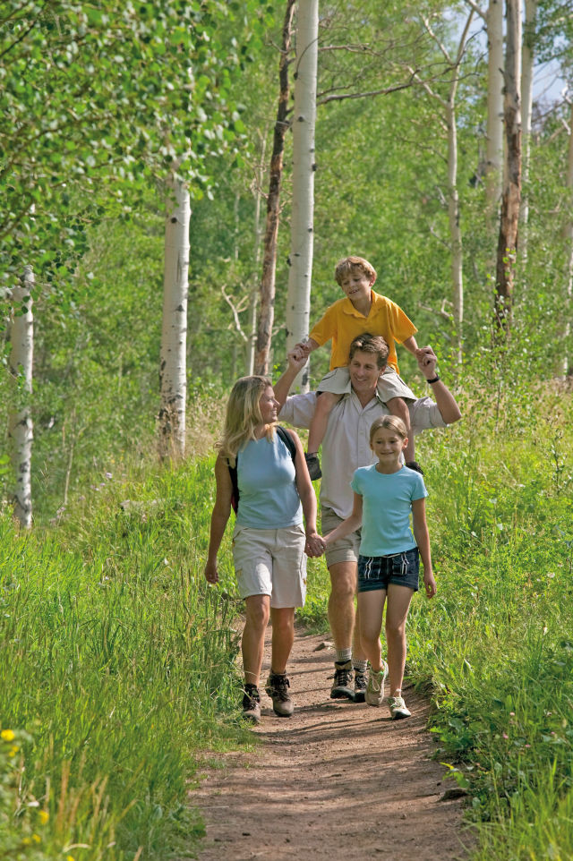
Image: Courtesy Vail Resorts
Yeoman's Park Discovery Trail
- Difficulty: Easy
- Round Trip: 200 yards
Why It’s a Favorite: This hike only takes about a half hour, but its seven interpretive signs are a fascinating introduction to Rocky Mountain archaeology, mammals, rocks, trees, wildflowers and water. This disabled-accessible trail also provides the opportunity to glimpse mountain birds and the beavers busy in the beaver ponds. It’s a short drive from the historic mining town of Fulford and from Fulford Cave Trail.
Getting There: Take I-70 west to Eagle at Exit 147, turn left and drive over the bridge to the U.S. 6 roundabout. Turn right (west) at U.S. 6, and take an immediate left at Capitol Street. Drive to Brush Creek Road and turn left. Follow for roughly 9 miles to the fork of East and West Brush Creek and turn left onto East Brush Creek Road. Drive 6 miles to Yeoman Park Campground; the trailhead is at the end of Loop A.
Fulford Cave
- Difficulty: Easy
- Round Trip: 1 mile
- Elevation Gain: 520 feet
Why It’s a Favorite: The Fulford Cave Trail climbs past natural freshwater springs through a district that once boasted 500 mine claims. Many of them were inside caves like the one at your destination, where miners had to rappel down to work their claims. Don’t enter unless you are an expert spelunker!
Getting There: Take I-70 west to Eagle at Exit 147, turn left and drive over the bridge to the U.S. 6 roundabout. Turn right (west) at U.S. 6, and take an immediate left at Capitol Street. Drive to Brush Creek Road, and turn left. Follow for roughly 9 miles to the fork of East and West Brush Creek and turn left onto East Brush Creek Road. Drive 4.6 miles to the Fulford Cave Campground. Follow the signs to the Fulford Cave Trailhead.
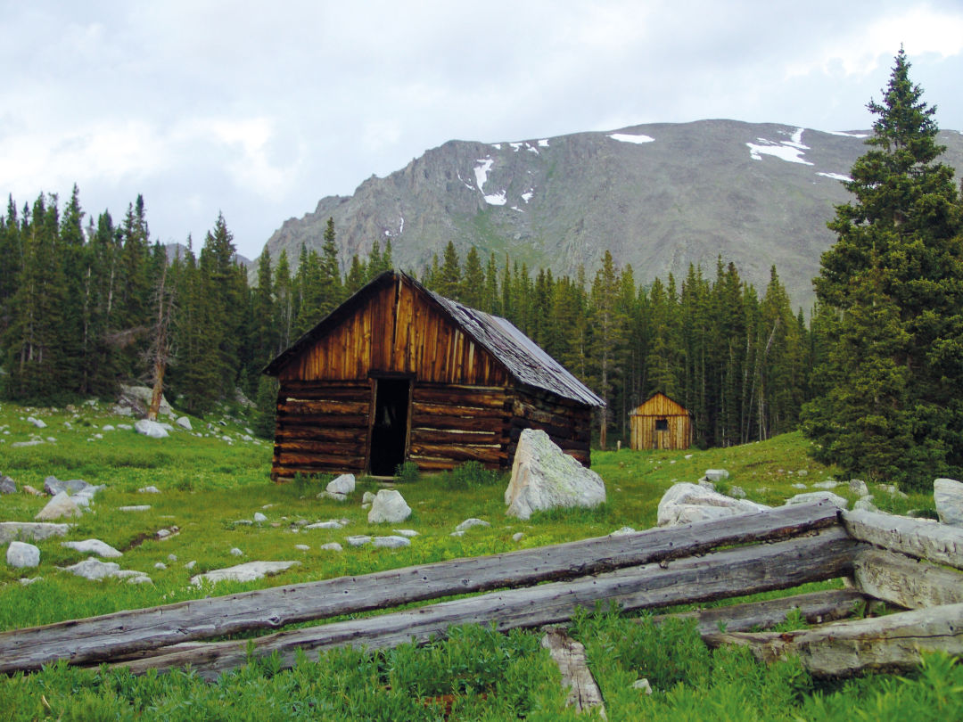
Image: Courtesy Vail Resorts
Holy Cross City Ghost Town
- Difficulty: Moderate
- Round Trip: 7.8 miles
- Elevation Gain: 2,100 feet
Why It’s a Favorite: This steep and twisty jeep road leads the hiker to a ruined 1880s ghost town, whose deserted streets in their heyday rang with the glad Eureka! of miners who found their fortunes here—and with the fistfights and gunshots of those who didn’t. The trail follows the old stagecoach road to Holy Cross City, climbing up through forest and meadow, past sheer cliff drops which probably unnerved early stagecoach passengers. Ignore a spur road on the left and keep right. A signed fork later points you left; take another left at the next unsigned fork. Marvelous views sweep east to the Tenmile Range. The remains of scattered cabins, mine-shaft houses and nondescript foundations are all that’s left of a town that once boasted hotels, homes, an assay office, two huge ore mills, a general store and a school district.
Getting There: Take I-70 west from Vail to the Minturn exit (171) and turn right onto U.S. 24. Go 13 miles to Homestake Road, No. 703, and turn right. Drive about 8 miles on this decent dirt road to the Holy Cross City jeep road sign; park here.
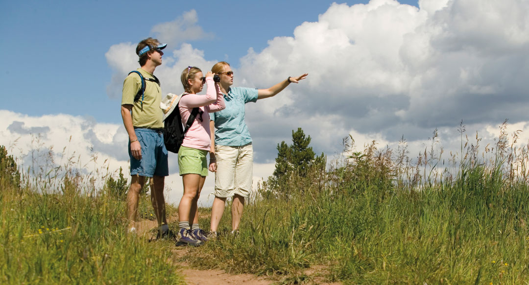
Image: Courtesy Vail Resorts
Nature Discovery Center
- Difficulty: Easy
- Round Trip: Short loop atop Vail Mountain
- Elevation Gain: none
Why It’s a Favorite: These one-hour summer jaunts take kids and grown-ups on an exciting nature treasure hunt atop Vail Mountain. Your hunt will uncover the secrets of how perfectly suited native plants and animals are to the demands of their high-country home. Your guide, a naturalist from Walking Mountains, will help you identify hidden signs of life left by bears, elk, porcupines, pocket gophers, foxes and other mountain residents. Guided hikes leave daily at 11 a.m. and 2 p.m. from the Nature Discovery Center yurt just east of Adventure Ridge on Vail Mountain. These programs are free, compliments of Vail Resorts, the U.S. Forest Service and Walking Mountains, with no reservations required.
Getting There: Take the Lionshead gondola up Vail Mountain to Adventure Ridge; the Nature Discovery Center is in the yurt just to the east.


Person of Interest
Rob Katz Returns to the Helm of Vail Resorts

Person of Interest
Meet the First American Woman to Conquer All 8,000-Meter Peeks

Village Talk
Watch Out for This Pint-Sized BMX Racer


Well Now
A Healing Summer Camp for Kids

Lost Gold
When Vail Lost the Olympics

Call of the Wild
Wintertime Dog Sledding in Wolcott

At Your Service
Exclusive Colorado Ski Town Experiences

At Your Service
Experience the Vail Valley Like a VIP

At Your Service
Getting Around Vail in Style
Family Affair
Exclusive Beaver Creek Dinner Honors Tuscan Wine Magnate


The Explainer
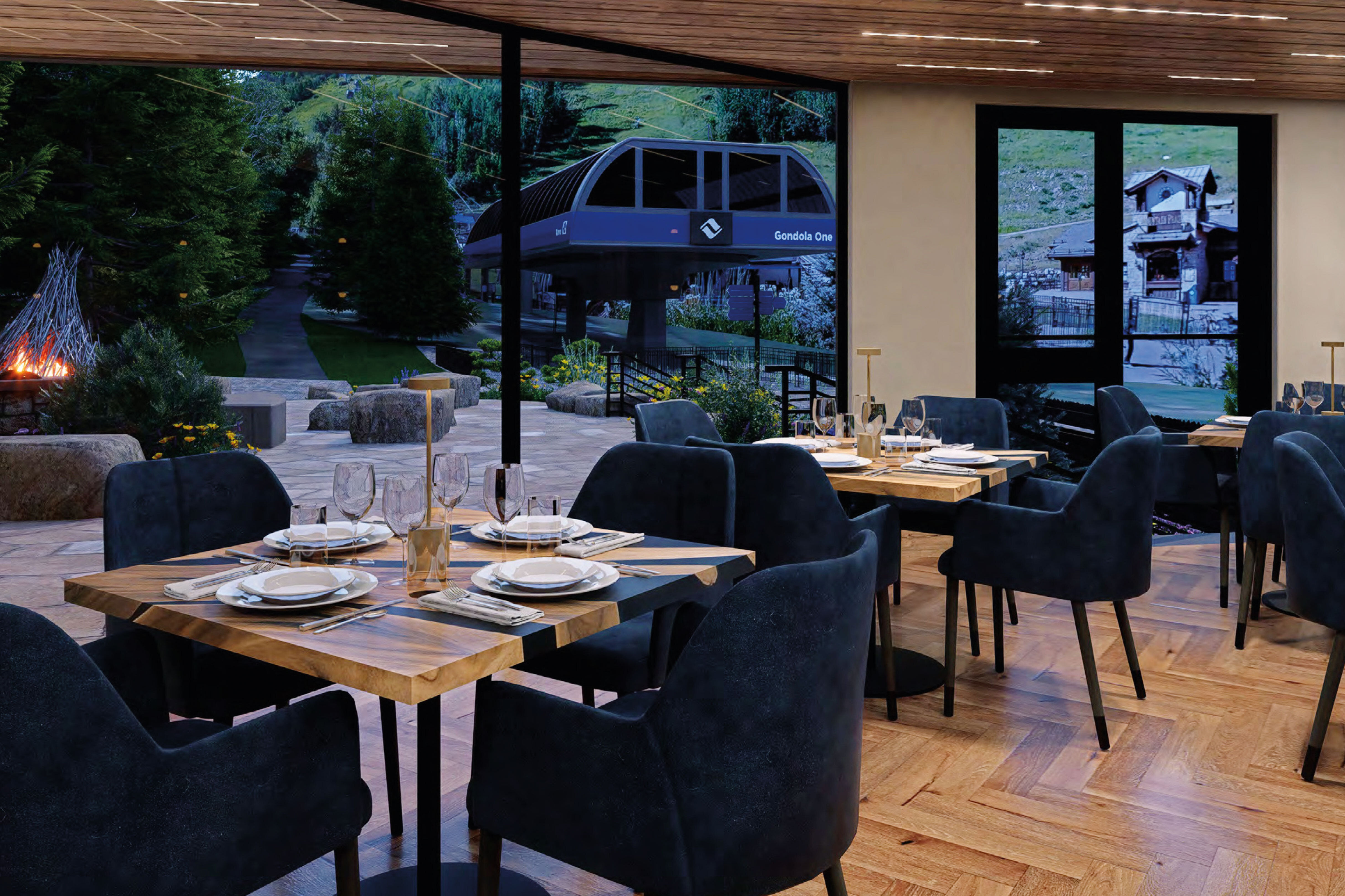
A Guide to Beaver Creek's Dining Cabins


At Your Service
Exclusive Dining Experiences

Twice As Ice
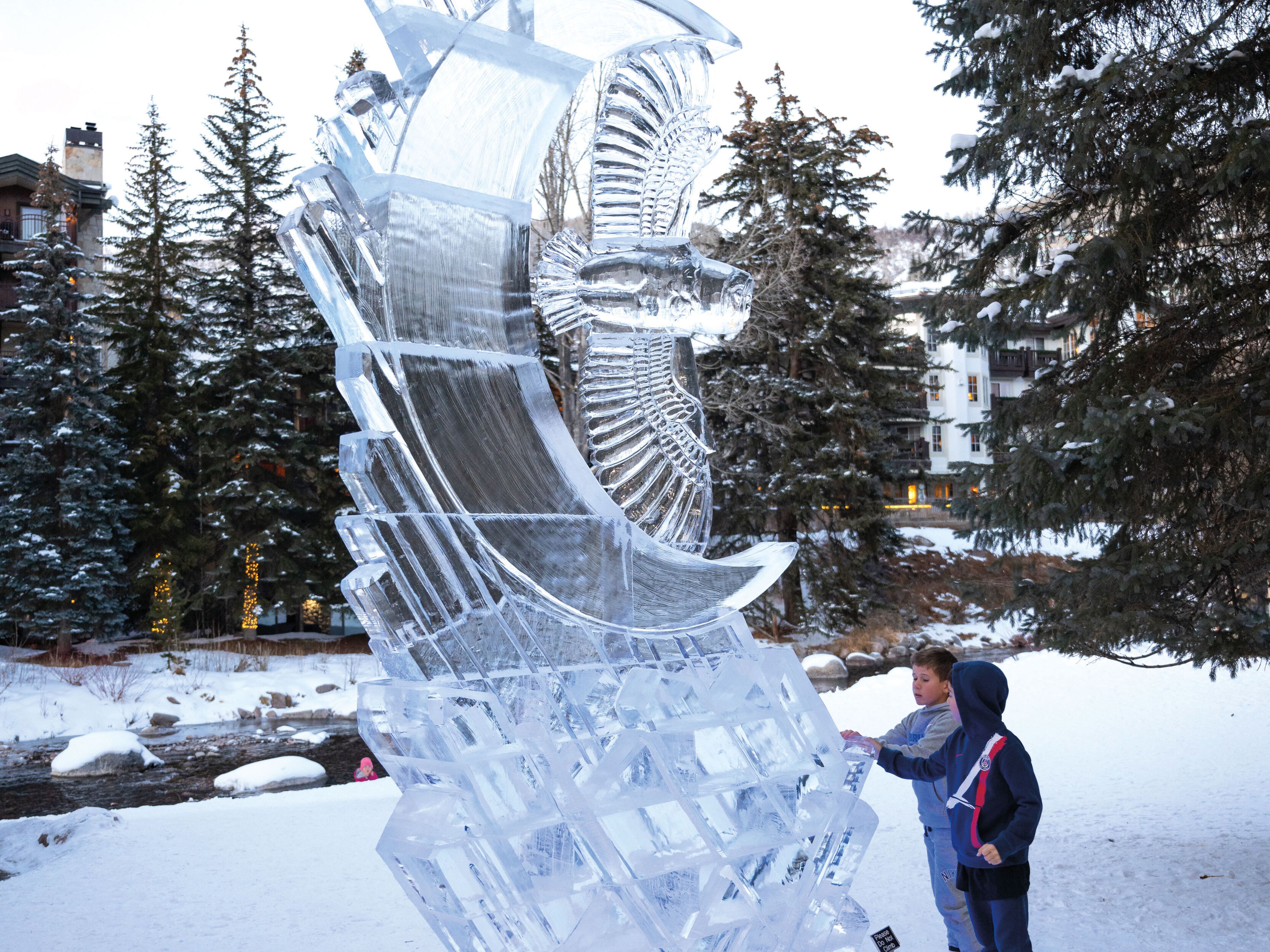
Meet the Vail Valley's Competing Ice Sculptors
At Your Service
Exclusive Colorado Ski Town Experiences

Living Color
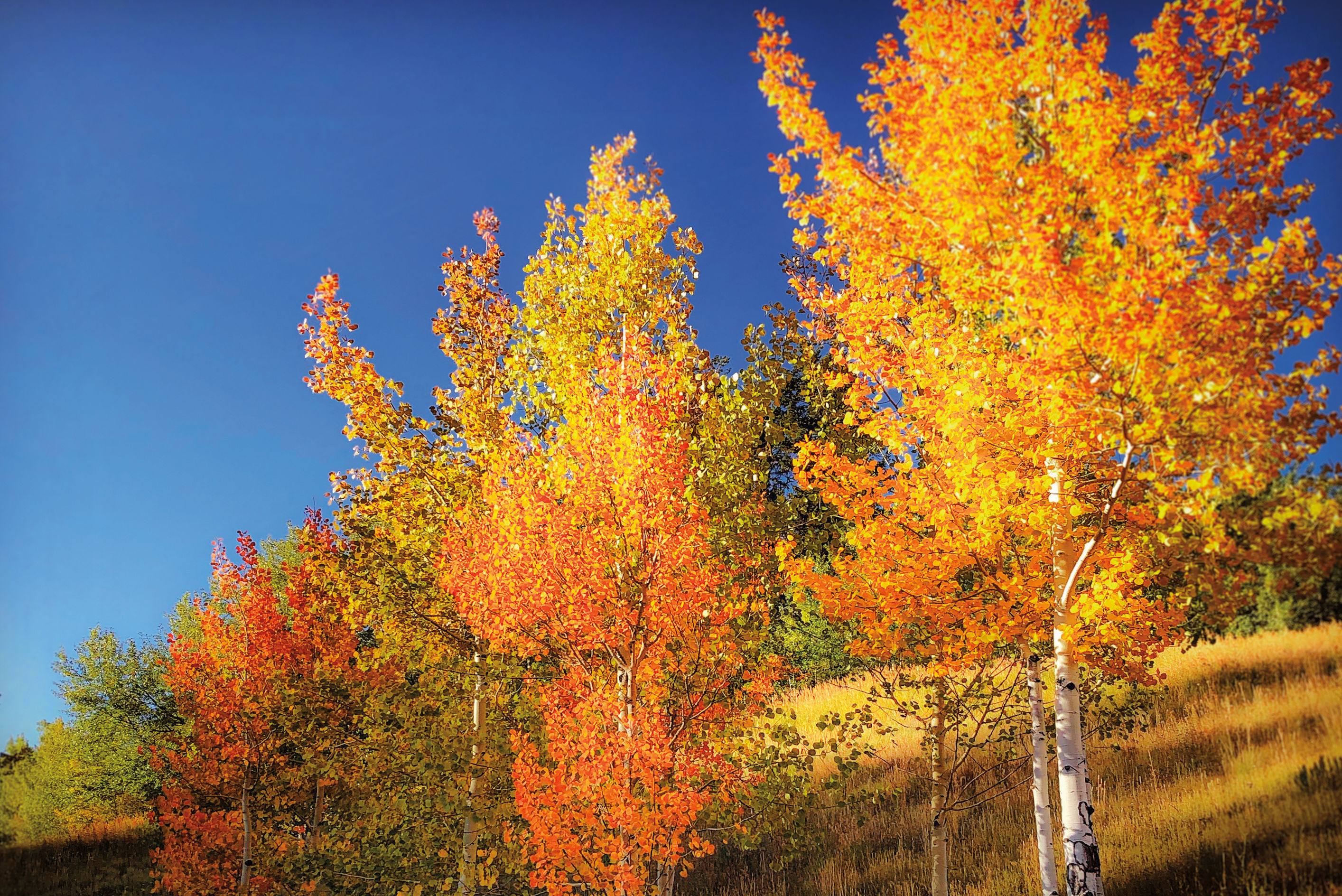
How to Capture the Essence of Autumn in Photos
At Your Service
Exclusive Colorado Ski Town Experiences

Well Now
A Healing Summer Camp for Kids


Person of Interest
Amanda Precourt Invests in Behavioral Health

Village Talk
Vail's Newest Plant-Based Meal Delivery Service

At Your Service
Experience the Vail Valley Like a VIP

Village Talk
Vail Real Estate Superlatives

Esprit Decor
The Next Generation of Mountain Home Interior Design

Feature
Remaking the Sitzmark Lodge


At Your Service
Vail Valley's Chic Boutiques

Style Counsel
Cocktail Couture

Carving a Niche
Why You Won't Find Bode Miller’s Peak Skis in Any Retail Store

Style Counsel
What to Wear to Bravo! Vail

Fashion