A Quick Guide to Tigiwon Road
Tigiwon Road
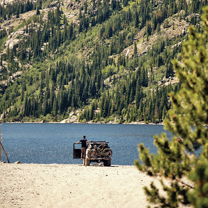
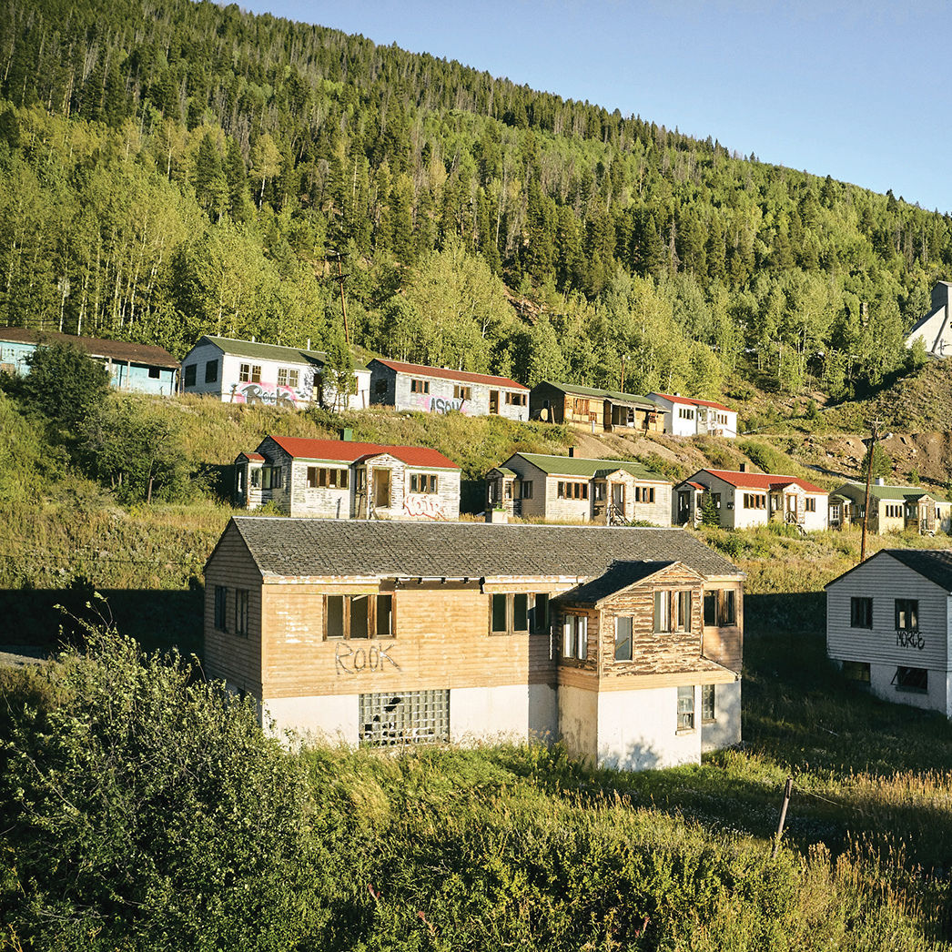
Image: Seth K. Hughes
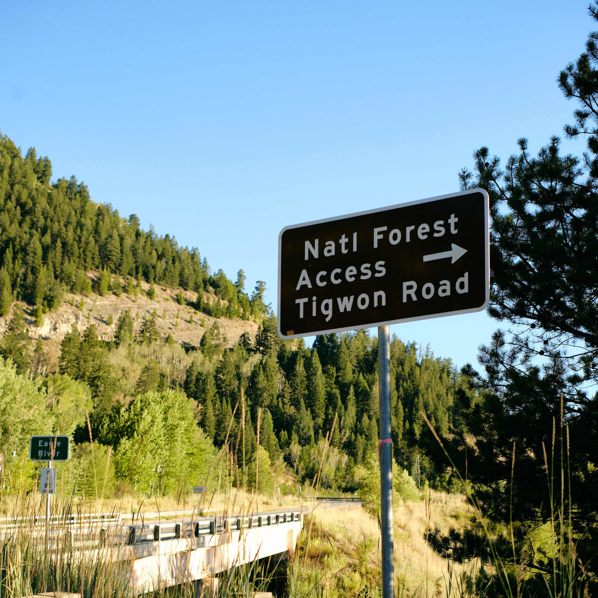
Forest Road 707—a.k.a. Tigiwon Road—starts at the southern outskirts of Minturn just past Maloit Park (home to the Vail Ski & Snowboard Academy, a public school where snowsports is part of the curriculum, and the Minturn Fitness Center—Lindsey Vonn’s favored gym; minturnfitnesscenter.com). It switchbacks steadily through pine and aspen for about 2,000 feet and eight miles before ending at Halfmoon Campground ($15 per night for first-come, first-served sites; fs.usda.gov). From there, hikers head up the Halfmoon Trail for an endurance trek to summit the county’s lone fourteener, Mount of the Holy Cross (a 10.2-mile round trip, with over 8,000 feet of elevation gain, only for those who are physically fit and well-equipped), or up the Fall Creek Trail for a more moderate there-and-back (same distance, but only 2,700 feet of elevation gain) to Notch Mountain, the historic summit overlook where photographer William Henry Jackson captured an image of the mountain’s iconic cross-shaped couloir in 1873.