12 Heavenly Hikes in the Holy Cross Wilderness
Fall Creek Trail
You could make a case that the 8.7-mile Fall Creek Trail #2001 delivers more scenic bang for your breathless buck than any in the Holy Cross Wilderness. A two-night midweek backpacking trip in 2017 confirmed this for me. Starting from the Half Moon trailhead at the top of Tigiwon Road, my wife and I hiked four miles to overnight on the banks of Lake Constantine.
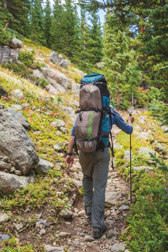
The 8.7-mile Fall Creek Trail begins with a march through lush timberland.
Image: Zach Mahone
One of the reasons egg-shaped Lake Constantine, at 11,371 feet, makes a perfect base camp is because of the terrain just to the south. It starts with a gorgeous, wildflower-laced climb to 12,580-foot Fall Creek Pass, with an option to detour to Tuhare Lakes if you’re feeling frisky. From the pass we continued south into the Seven Sisters Lakes basin, laid down in a warm clump of grass, and marveled at a scene straight out of Switzerland. We enjoyed a lunch of meat and cheeses and kept thinking we might see another soul, but no one appeared. The second morning, a storm rolled through and pelted our tent with hail, not that we cared. We just hung out and talked, while listening to nature’s drumbeat—two things we don’t do nearly enough. By the time we returned to civilization on the third day, it felt like we’d been gone a week, which was exactly what we wanted.
Missouri Lakes-Fancy Pass Loop
Put simply, this is one of the finest wilderness trail loops in the state—and I don’t say that lightly. It’s also no surprise that it sees its share of solitude seekers, especially in July and August, when the wildflowers look like a painting. At 8.8 miles, the trek can easily be done in a day, but it also makes a great backpacking loop. From the Missouri Lakes Trailhead (from I-70 Exit 171, follow Highway 24 south through Minturn for 12.9 miles to Homestake Reservoir Road [#703], then follow Homestake Road for 7.5 miles to Missouri Creek Road). Follow Trail #2003 as it climbs counterclockwise up 11,986-foot Missouri Pass (just after 2.5 miles, admire the awesome power of nature as you pick your way through an avalanche debris field; the Forest Service hopes to have it cleared by the end of September), detouring to one of the eight lakes along the way for lunch or a quiet rest stop. From there, behold one of the best views in the entire Holy Cross Wilderness: a sprawling scene anchored by Middle Mountain Ridge. Continue down past Treasure Vault Lake and over Fancy Pass, which is as rugged as its 12,390-foot elevation suggests. You’ll finish at the Fancy Creek Trailhead, a convenient endpoint that sits just one minute from where you started.
Hunky Dory and Cleveland Lakes
Not surprisingly, given the travel restrictions, wilderness areas don’t offer motorized visitors many recreation options. But on the southeast fringe of the Holy Cross Wilderness boundary, a world-class parlay exists. For four-wheeling aficionados who want to test their custom suspension, the rugged drive to Holy Cross City is a rare thrill—and it happens to deliver you within a short hike to two stunning alpine lakes, Cleveland and its smaller neighbor, Hunky Dory. Start from the Holy Cross City Trailhead on Homestake Road, which bends to the southwest 13 miles south of Minturn on Highway 24. Just after you pass the Gold Park Campground, you’ll see a turnoff on your right. Take this road, either on foot or in a burly 4x4, and continue 3.8 miles to Holy Cross City, a once-bustling mining hub-turned-ghost town. Separate non-motorized trails inside the wilderness boundary proceed to Hunky Dory Lake (less than half a mile) and Cleveland Lake (roughly a mile) from there.
Hunky Dory Lake, an alpine oasis not far up the trail from Holy Cross City
Image: Zach Mahone
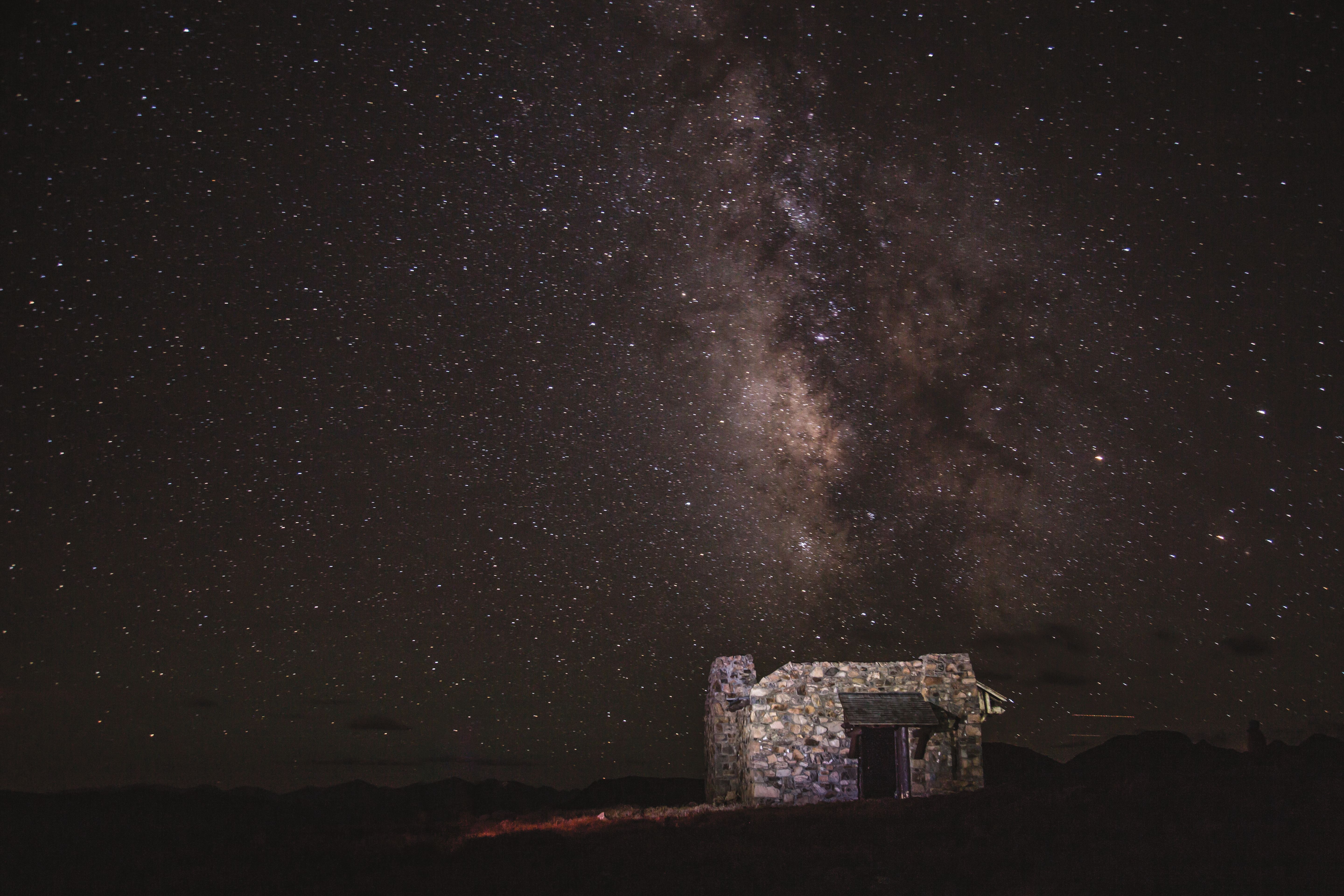
Notch Mountain
Popularized in the 1920s when pilgrims flocked to view Mount of the Holy Cross from Notch Mountain’s south summit ridge, the hike remains a favorite among locals and visitors alike. A moderately pitched, well-built series of switchbacks from the Fall Creek Trail, the Notch Mountain Trail tops ascend to a 1930s-era stone shelter (see featured image above) at 13,224 feet that stares directly across the valley at Holy Cross’s namesake couloir—which should be best viewed in late June and early July this year, thanks to a deep winter snowpack. Although the annual pilgrimages of a century ago died off during World War II, they were revived in 1976 and are led today by Rev. Scott Beebe, pastor of the Mount of the Holy Cross Lutheran Church in Vail. The free hike, open to the public, is set for Saturday, July 6, and Beebe does a great job of detailing the peak’s history and leading a lunchtime service before heading back to the trailhead. If reservations exceed the 15-person maximum, Beebe—who is also a volunteer ranger with the White River National Forest—will schedule an additional pilgrimage. Register in advance at mountholy.com.
Do It Yourself
From the trailhead at the top of Tigiwon Road, follow the Fall Creek Trail #2001 for 2.3 miles to the Notch Mountain Trail #2000 junction; from there, follow a series of switchbacks (ascending nearly 2,000 feet in elevation over 2.9 miles) to the summit overlook.
Timberline Lake
If you can manage a drive to Leadville, about 30 miles south of Minturn along picturesque Highway 24, you will be rewarded with one of the easiest approaches to a wilderness lake in the state. Perfect for young kids or beginner backpackers, this 2.2-mile (one way) hike deposits you into a scene fit for Ansel Adams’s tripod. Simply drive to Turquoise Lake next to the May Queen Campground and set out from the western end of the lake on the Colorado Trail. After a short jaunt, follow signs to Timberline Lake, which sits at 10,855 feet—far below timberline, but nonetheless spectacular. Bring a fly rod to cast for native greenback cutthroat trout, which have been reintroduced to the lake. The best campsites are on the southeast rim, and remember: no keeping your catch, all fish must be released.
Middle Lake
Chalk this trail’s emptiness up to being a few drainages farther away from the most famous ski town in America. While the eastern half of the Holy Cross Wilderness sees its share of crowds, the western half remains more or less empty most days of the summer. This means gems like Middle Lake, a picturesque pool surrounded by a horseshoe of alpine ridgeline south of Edwards, is often your own private nirvana. My wife and I saw one other soul during our jaunt to the lake last Labor Day, on a sunny morning warm enough for a T-shirt.
The 3.2-mile stretch of the rutted dirt track known as Forest Road 423 (from I-70 Exit 166, head south on Edwards Access Road to US Hwy 6, then follow Highway 6 west for .7 miles to Lake Creek Road; after 1.8 miles turn onto West Lake Creek Road and follow for 3.8 miles to Forest Road 423) is better suited for a rental Jeep than your own vehicle, which, especially if it is of the low-clearance variety, you should park where the pavement ends and start hiking. But once you’ve arrived at the trailhead at the Baryeta Cabins, you are treated to a spectacular and placid scene with a slow-moving creek running through a grassy meadow sheathed by rock walls. The climbing begins in earnest, snaking up 1,500 feet to a rustic cabin, where it continues to a junction with the Dead Dog Trail. You reach a crest soon after that and proceed down to the lake’s south shore, where we found a rocky knob and enjoyed a picnic lunch. At 6.3 miles round-trip with 3,200 feet of elevation gain, this trail is not a good one to forget your water tablets and running shoes, as I did. But luckily, the run back down to the truck was soft and loamy; just as peaceful as the ascent. You can also do this as an overnight via the Dead Dog Trail, starting and finishing at the East Lake Creek Trailhead (another mile up the road from the junction with Forest Road 423).
Upper/Lower Turquoise Lakes
Perhaps due to the daunting round-trip mileage—15 in all, with 3,300 feet of climbing—these extraordinary lakes remain sparsely visited despite sharing a trail with the heavily trafficked Beaver Lake and an access point from Beaver Creek Resort. Park in one of the garages at Beaver Creek Village, then look for the Beaver Lake Trailhead (Trail #2109) near the Centennial Express and follow the well-traveled creekside path for 3 miles to the Holy Cross Wilderness boundary. A few minutes (.3 miles) later you’ll arrive at Beaver Lake, which marks the end of the hardest climbing. For the next 4 miles, the route undulates through meadows and wildflowers, finally arriving at Lower Turquoise Lake. Don’t stop there, however. Just beyond the marshy flatlands sits Upper Turquoise Lake (elevation: 11,300 feet), the gem of the drainage and a worthy destination either for a long (roughly five hours for fit hikers) day trip or a more manageable overnight outing.
Cross Creek to Fall Creek Loop
Weekend warriors sit at their desks dreaming of what this world-class backpacking loop delivers in abundance: enormous landscapes, craggy peaks, and a three- or four-day route that ranks among Colorado’s best. You can do it in either direction, but we recommend leaving a car at the Half Moon Trailhead and starting from Cross Creek (Trail #2006) at a trailhead about six miles down Tigiwon Road. Hike the loop counterclockwise, scouting campsites along the way until you find one you like. Both Cross Creek and Fall Creek see ample traffic from day hikers, but the deeper you go, the fewer people you’ll encounter. Continue up and over Fancy Pass, then up Fall Creek Pass and down toward Lake Constantine. After 28 miles, your hips and quads will feel like applesauce, but you won’t soon forget the stunning wilderness you immersed yourself in, a forever you never wanted to end.
Treat it Right
In order for the Holy Cross Wilderness to remain pristine, visitors need to follow these basic rules:
- No campfires within 100 feet of any lake, creek, or trail; above 11,000 feet elevation; or within the Missouri Lakes, Fancy Creek, and East Cross Creek watersheds
- Camping is prohibited within 100 feet of any lake, stream, or trail; group size is limited to 15 people
- Dogs must be under physical or voice control at all times
- No switchback cutting
- No mountain biking
- All overnight visitors must fill out a permit at the trailhead and carry it with them
- As for trash, if you pack it in, please pack it out: protect these fragile alpine landscapes, and respect those who will follow in your footsteps, by leaving no trace that you ever were there.
Resources
Ranger Stations
Hours: Mon–Fri, 8 a.m.–4:30 p.m.
Eagle-Holy Cross Ranger District (Minturn)
2747 US Hwy 24, 970-827-5715
Leadville Ranger District
810 Front St, Leadville, 719-486-0749
Outdoor Stores where you’ll find the topographic maps and all the gear you’ll need
Alpine Quest
34510 US Hwy 6, Edwards, 970-926-3867; alpinequestsports.com
Ptarmigan Sports
137 Main St (Riverwalk), Edwards, 970-926-8144
Outfitters offering guided hikes in the Holy Cross Wilderness and Mount of the Holy Cross summit hikes
Beaver Creek Hiking Center (open May 26–Sept 30)
Beaver Creek Village, 970-754-5373; beavercreek.com
Paragon Guides
210 Edwards Village Blvd, Edwards, 970-926-5299; paragonguides.com
Walking Mountains Science Center
318 Walking Mountains Lane, Avon, 970-827-9725; walkingmountains.org


Person of Interest
Meet the First American Woman to Conquer All 8,000-Meter Peeks

Village Talk
Watch Out for This Pint-Sized BMX Racer


Well Now
A Healing Summer Camp for Kids
Village Talk
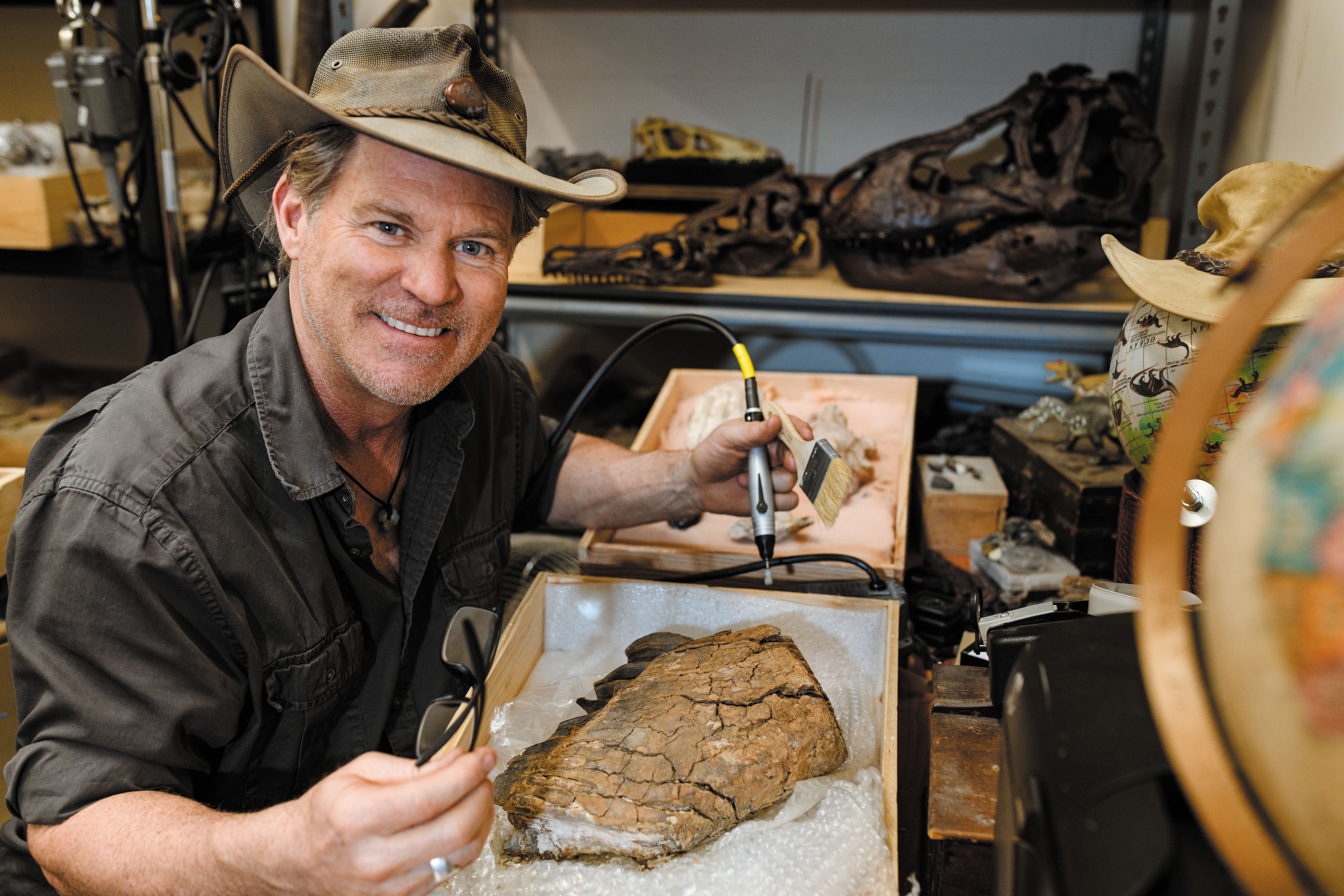
Fossil Hunting in an Unlikely Location

Person of Interest
Meet the First American Woman to Conquer All 8,000-Meter Peeks


Explore
A Visitor's Guide to Minturn

Carving a Niche
Why You Won't Find Bode Miller’s Peak Skis in Any Retail Store

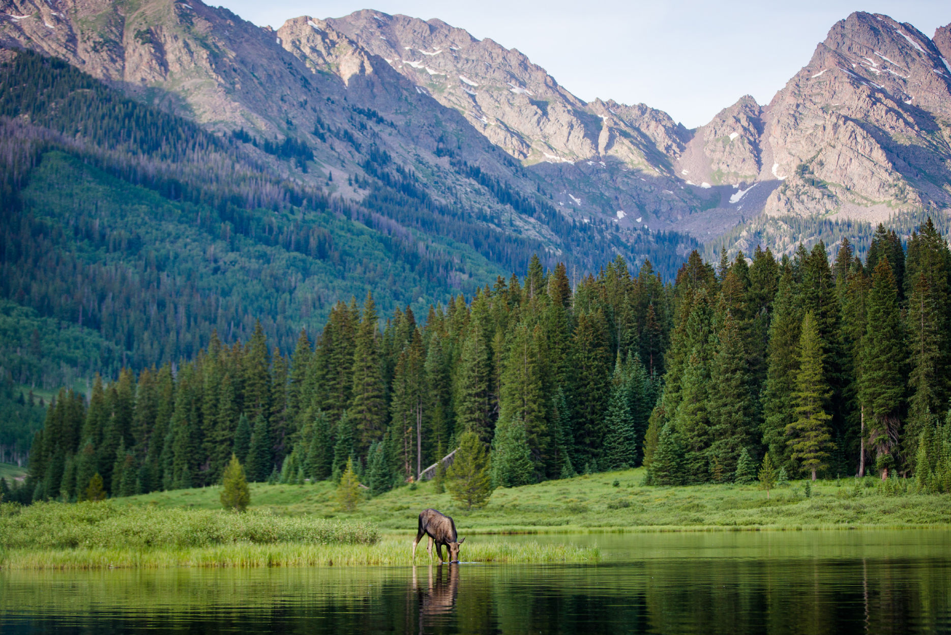
Outdoors
Vail Valley's Best Lakes


Restaurant Listings
Vail Dining Guide


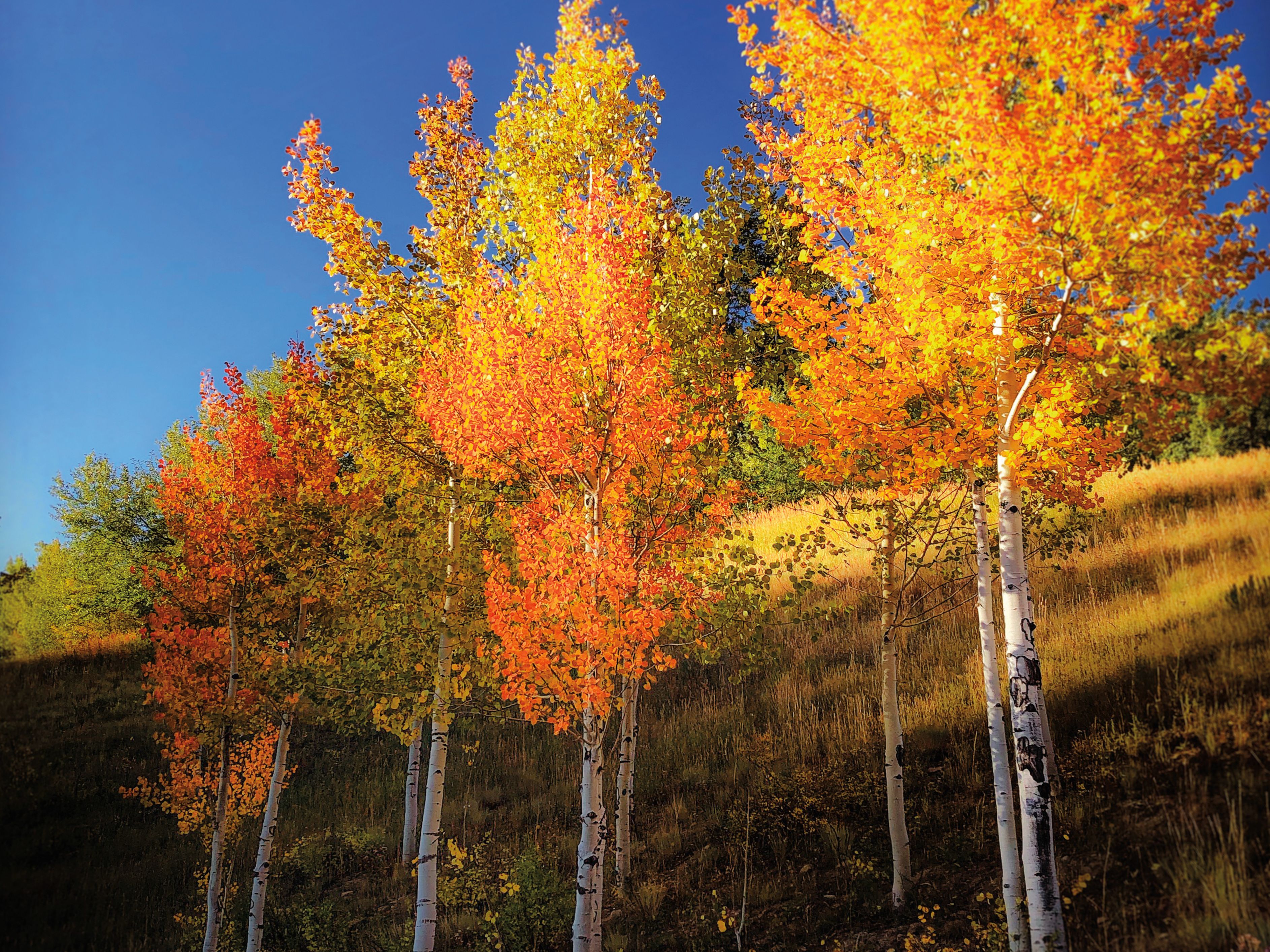
Living Color
How to Capture the Essence of Autumn in Photos
Event Planner
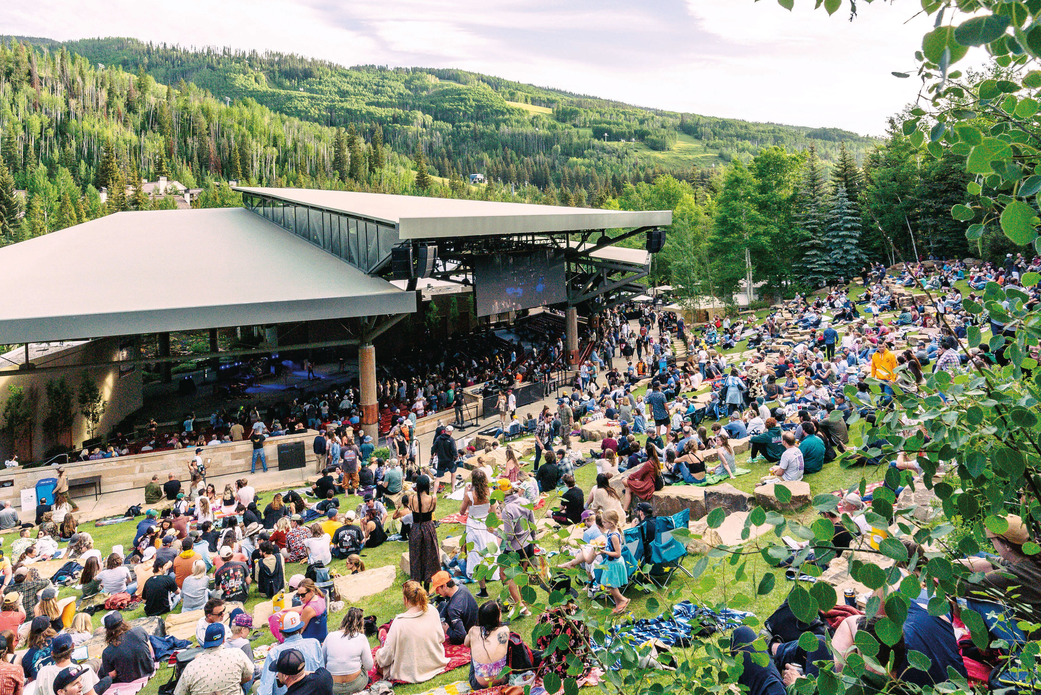
Vail's Hottest Summer Outdoor Festivals, Concerts & More

Twice As Ice
Winterfest and Ice Castles Will Delight and Amaze


Well Now
A Healing Summer Camp for Kids

Article
Mini Spa Escapes in Vail


Person of Interest
Amanda Precourt Invests in Behavioral Health

Village Talk
Vail's Newest Plant-Based Meal Delivery Service

Feature
E-Bike Curious?
Village Talk
Vail Real Estate Superlatives

Esprit Decor
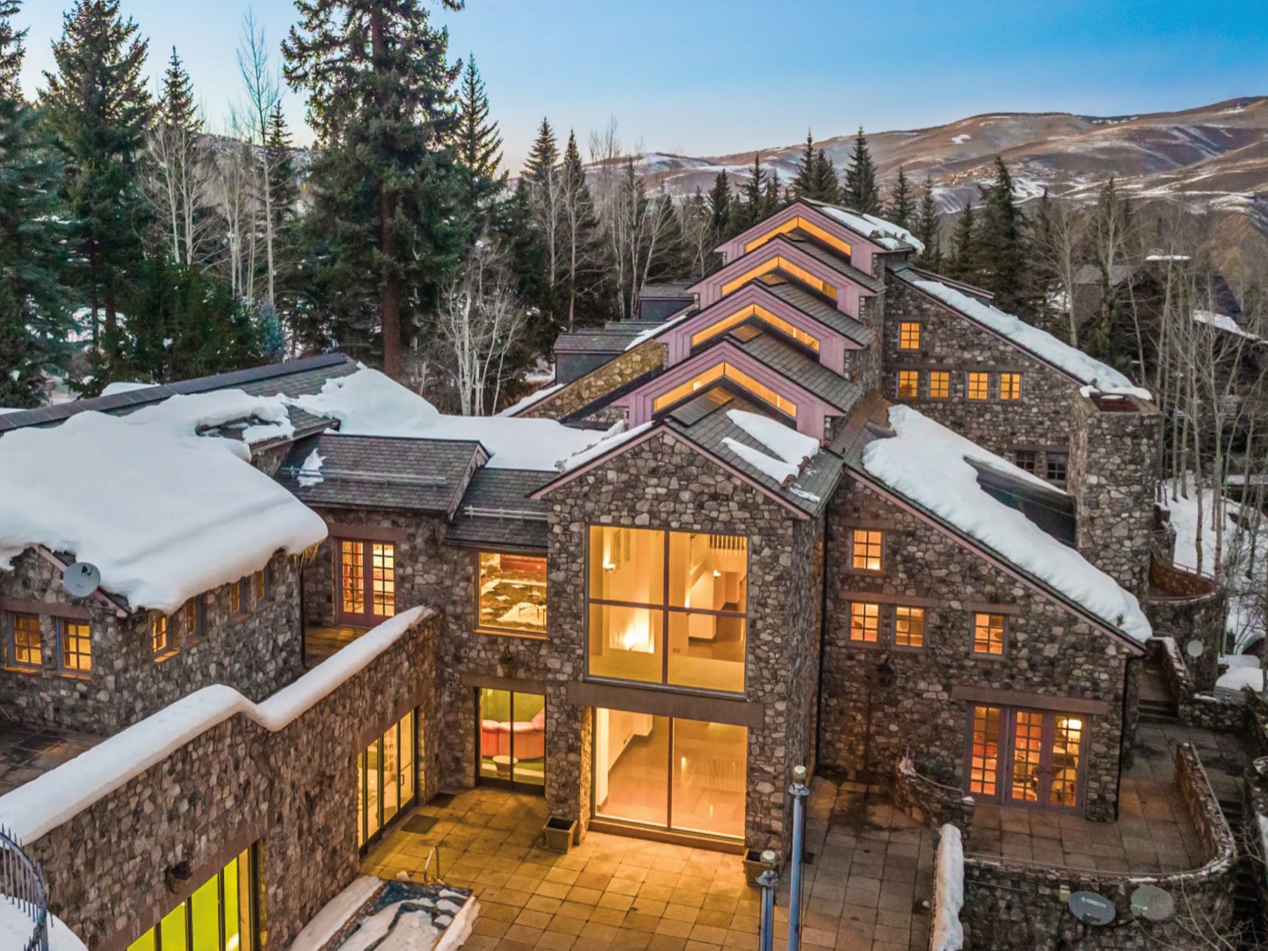
The Next Generation of Mountain Home Interior Design
Feature
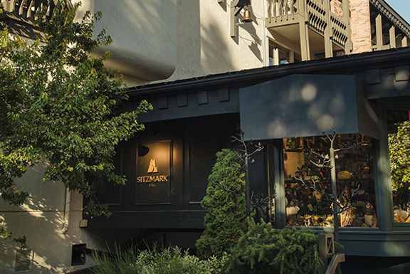
Remaking the Sitzmark Lodge


Shelter
Sanctuary Space

Carving a Niche
Why You Won't Find Bode Miller’s Peak Skis in Any Retail Store

Style Counsel
What to Wear to Bravo! Vail

Fashion
Refined Dining

The Explainer
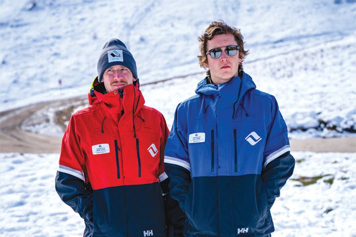
Decoding Vail Resorts’ New Uniforms
Style Counsel